

Making location data and services more accessible
FetchGIS is a modern web and mobile GIS software that makes it easy for audiences to benefit from location data and services. Used by government, industry, business and non-profits, FetchGIS engages users in an intuitive workspace that streamlines data discovery and increases service benefits to a broad audience.
Key Features
Service Areas include government, industry, business and non-profit organizations.
Local Governments
Fortune 500 Companies
Small Businesses
Non-Profit Organizations

Community GIS
Field Applications
Environmental Monitoring
Facilities Management
Retail Analytics
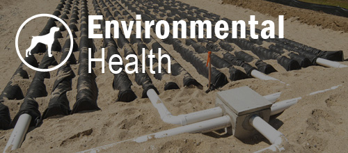
Environmental Health
Land Management
FetchGIS serves a wide range of organizations and use cases

Community GIS

Fetch Environmental Health

Business & Industry
Browse interactive maps, land information, aerial imagery and more in your community
Community Sites
